Bon Echo Provincial Park
One of Ontario's most iconic parks, featuring the 100-metre Mazinaw Rock with over 260 Indigenous pictographs — a National Historic Site. 530 campsites, three beaches, 40 km of trails, and canoe-in backcountry camping on Mazinaw Lake, Ontario's third deepest. About 2 hours 45 minutes from Ottawa.
Features
About Bon Echo Provincial Park
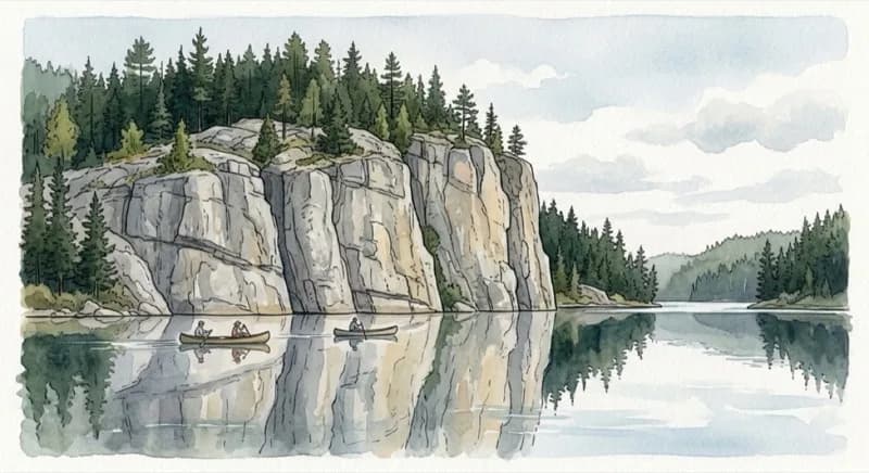
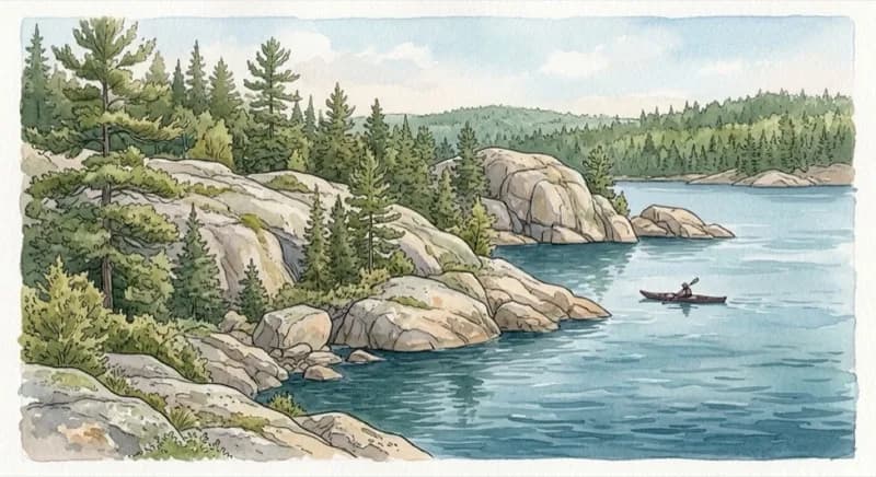
Bon Echo Provincial Park is built around one of Ontario's most striking natural landmarks — Mazinaw Rock, a 100-metre granite cliff rising straight out of Mazinaw Lake. The cliff face holds over 260 Indigenous pictographs painted in red ochre, making it the largest collection of rock art in the Canadian Shield and a designated National Historic Site.
The name "Mazinaw" comes from the Algonquin word meaning "picture" or "writing." Stand at the base of the cliff by canoe and you'll understand why — and if you call out, you'll hear the distinct echo that gave the park its name.
It's about a 2 hour 45 minute drive from Ottawa, making it a solid weekend camping destination.
Camping
The park has 530 campsites across several areas:
Mazinaw Lake Campground (395 sites)
Three loops — Sawmill Bay (163 sites), Fairway (120), and Midway (112). 286 sites have electrical hookups. Close to the beach, boat launches, and park store.
Hardwood Hill Campground (100 sites)
Non-electrical, more wooded and quiet. A good pick if you prefer a more rustic experience.
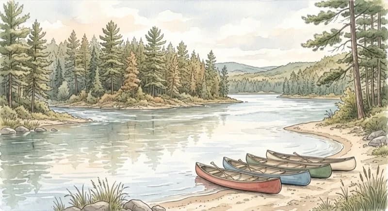
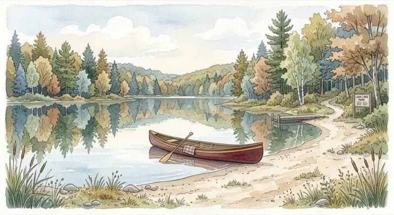
Canoe-In Sites (21 sites)
Paddle to remote campsites on Joeperry and Pearson Lakes — a genuine backcountry experience accessible by canoe.
Backcountry (5 sites)
Along the Abes & Essens trail system, reached by hiking.
Roofed Accommodations
Camp cabins, a rustic cabin, yurts, and exploration tents for those who want to skip the tent setup.
Things to Do
Mazinaw Rock
The park's centrepiece. Paddle along the 2.5 km cliff face to see the pictographs up close — the best way to experience them is by canoe or kayak. The Cliff Top Trail (1.5 km) is accessible only by water and features three observation decks on top of the 100-metre rock face.
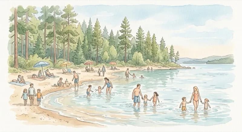
Swimming
Three sand beaches — Main Beach on Lower Mazinaw Lake, South Beach in the day-use area, and North Beach at Sawmill Bay.
Hiking (~40 km of trails)
- Bon Echo Creek Trail (1 km) — Easy walk along the creek
- High Pines Trail (1.7 km loop) — Easy, through tall pines
- Shield Trail (4.8 km loop) — Moderate, Canadian Shield terrain
- Cliff Top Trail (1.5 km) — Water access only, views from atop Mazinaw Rock
- Abes & Essens Trail — Three loops (3.5 km, 9.6 km, 17 km), moderate to difficult, with 5 backcountry campsites
Paddling & Fishing
Boat launches at North Beach, the Lagoon, Joeperry Lake, and along Bon Echo Creek. Canoe and kayak rentals available. Mazinaw Lake reaches 145 metres deep — the third deepest lake in Ontario.
Visitor Information
- Season: Early May to mid-October (2025: May 9 – October 19)
- Fees: Non-electrical sites from ~$39/night, electrical from ~$44/night. Day use $18/vehicle (must be booked in advance)
- Reservations: Book online at Ontario Parks — Bon Echo is extremely popular and summer weekends sell out months in advance
- Facilities: Comfort stations with showers, laundry, dump station, park store, visitor centre, amphitheatre, canoe/kayak rentals
Getting There
- From Ottawa: Take Highway 7 west toward Perth, then Highway 41 south to Cloyne. About 260 km / 2 hours 45 minutes
- Address: 16151 Hwy 41, Cloyne, ON K0H 1K0
Information may change. If you spot anything outdated or incorrect, let us know.
I run 613today on my own and I'm not affiliated with this venue. Place info may not be perfectly up to date. Please double-check with the official website before visiting, or contact the venue directly for any questions about it. If you spot anything wrong on this page, let me know.
Details
16151 Hwy 41, Cloyne, ON K0H 1K0
Get Directions →You might also like
 Campground
Murphy's Point Provincial Park
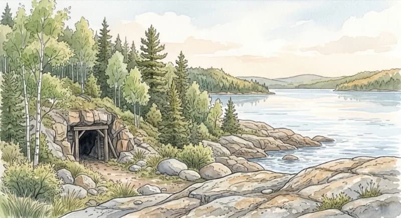
A 1,239-hectare park on Big Rideau Lake, part of the UNESCO World Heritage Rideau Canal. Home to the Silver Queen Mine — the only publicly accessible mica mine tour in Ontario Parks. About 90 minutes from Ottawa with car camping, beaches, hiking trails, and pioneer heritage sites. Open mid-May to mid-October.
 Campground
Fitzroy Provincial Park
One of the closest provincial parks to downtown Ottawa, about 40 minutes west at the confluence of the Carp River and Ottawa River. 235 campsites across two campgrounds, two sandy beaches, hiking trails through glacial landforms, and a 300-year-old bur oak stand. Open mid-May to mid-October.
 Campground
Bonnechere Provincial Park
A family favourite in the Ottawa Valley with a shallow sandy beach on Round Lake, calm Bonnechere River paddling, and a radio-free campground. 129 sites plus rustic cabins and a cottage. Known for its accessible trails, oxbow lake wildlife viewing, and relaxed atmosphere. About 2 hours from Ottawa. Open May to October.
 Campground
Charleston Lake Provincial Park
A 2,596-hectare Canadian Shield park about 90 minutes south of Ottawa. 236 campsites across four campgrounds, yurts, and backcountry canoe-in sites. The Blue Mountain Trail reaches the highest point in Leeds & Grenville County with views to the Adirondacks. Known for fishing, rocky outcrops, and rich biodiversity. Open mid-May to mid-October.
 Campground
Silver Lake Provincial Park
A quiet, smaller park on a clear lake about 90 minutes southwest of Ottawa. 146 campsites across three campgrounds, two sandy beaches, and canoe/kayak/SUP rentals. A hidden gem known for great swimming and a relaxed atmosphere. Open late May to mid-October.
 Campground
Parc national de Plaisance
The only SEPAQ national park in the Outaouais region, about an hour east of Ottawa on a series of islands in the Ottawa River. A birdwatcher's paradise with 250+ species — the highest count in Quebec's national park network. Floating boardwalk trails, 150 campsites, ready-to-camp units, and yurts. Open late April to mid-October.
Want to add your place to 613today? It’s free!
Contact Us→